September
2, 2008 - Lander, Wyoming to Chadron, Nebraska. Including more Oregon
Trail sites, the Mormon Handcart Museum and Independence Rock.
HOME

Or, to view all photos in a larger size, click on:
http://www.thundertrain.org/yellowstone-090208-bb.html


LEFT-We
said goodbye to our kitty friends at the Blue Spruce Bed and Breaskfast
in Lander right after another excellent breakfast. RIGHT-Wyoming's wide
open spaces as seen from US Highway 287 east of Lander.


The
famous ice slough along the Orgeon Trail between Lander and Jeffrey
City, Wyoming on US 287. Back in the 1840s and 50s, travelers would dig
about 2 feet below this green area and hit ice, which they used to ice
drinks and preserve meat.


RIGHT-Jeffrey
City, Wyoming, which used to be a mining town for uranium. This gym was
built in the 1980s but never used when the town lost a lot of people
due to less need for urannium. I was told there's a lot of background
radiation here since there's still lots of uranium in the ground.


Elementary school is still held here, but there are now only two students, according to someone at a local gas station.


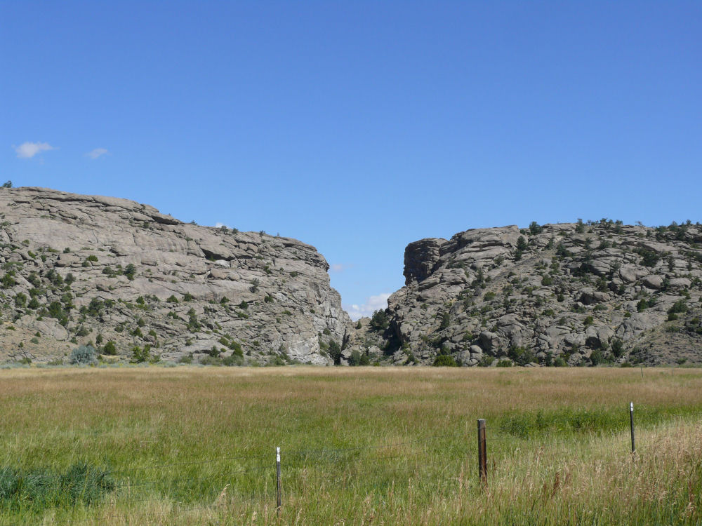
Split Rock, a famous landmark used by Oregon Trial settlers, the Pony Express, Indians and Trappers.


Devil's Gap, another landmark used by Oregon Trail settlers.


LEFT-A
handcart used by the Mormons on their trek westward to Utah. This is
the Mormon Handcart Museum located on State Highway 220 between Muddy
Gap and Casper, Wyoming. We were at the Mormon Handcart Museum.


These quotes were placed a several locations at the Handcart Museum.


Or, to view all photos in a larger size, click on:
http://www.thundertrain.org/yellowstone-090208-bb.html


RIGHT-Linens inside the museum.


LEFT-Original Highway 220, the route of the Oregon Trail, looking north. RIGHT-Looking south on the original road.


LEFT-Heading north on the old road. RIGHT-Devil's Gap again.


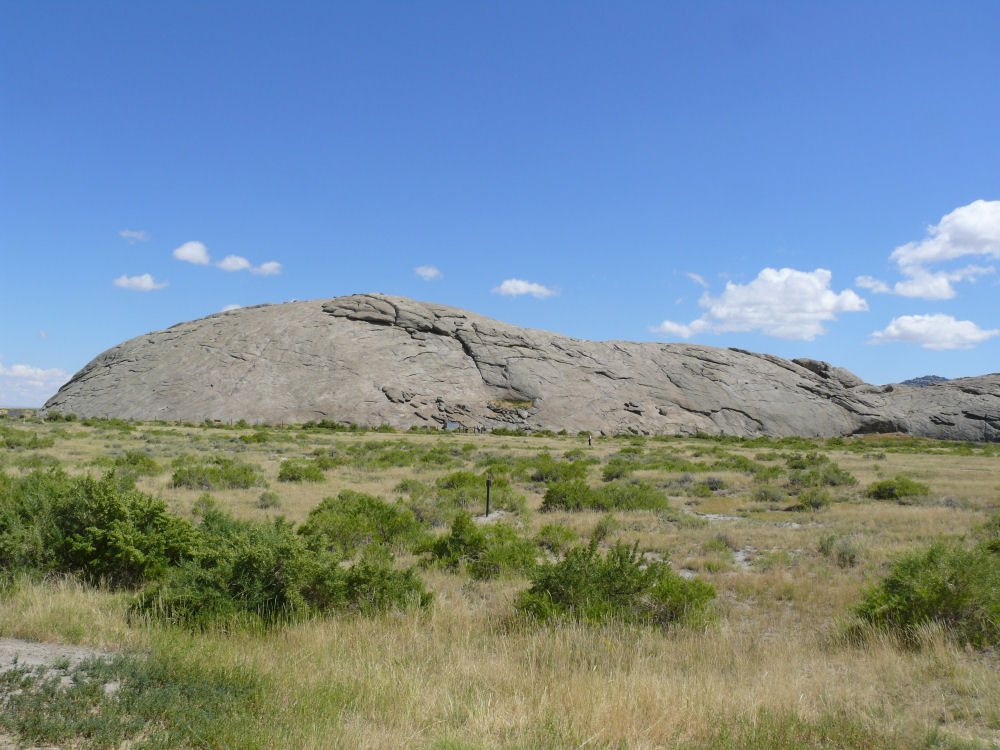
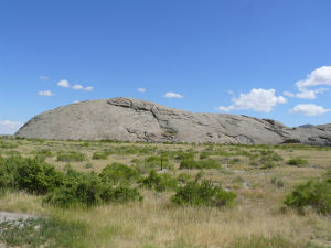
LEFT-Road sign regarding the various trails. RIGHT-Independence Rock.


RIGHTS-Old ruts.


RIGHT-This is Independence Rock. Some say it looks like a turtle.


RIGHT-You can still see the faded yellow stripes of the old Highway 220, which is closed to driving today.


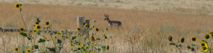
Pronghorn.


LEFT-Near Shawnee,Wyoming. RIGHT-Jireh and it's college.

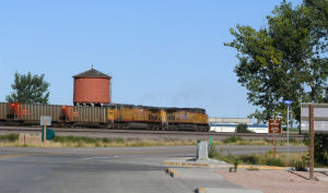
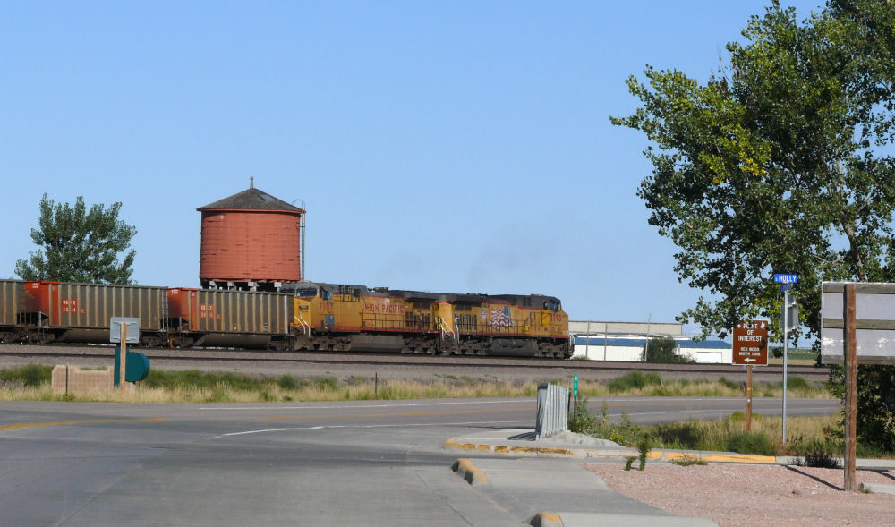
RIGHT-UP train and old water tower, Lusk, Wyoming.


RIGHT-In Nebraska, 5:40 p.m. MDT.


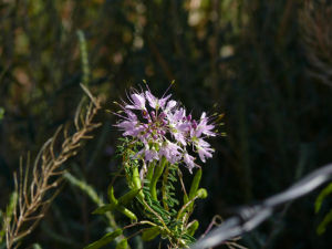
LEFT-Closeup
of a sunflowers. Nebraska and Wyoming were run over by sunflowers.
RIGHT-Driving through the old Fort Robinson, Nebraska.

After this, we spent the night in Chadron, Nebraska.
HOME
If you want to contact me,
click the email graphic below.

If you
don't have access to your email program, you can contact me via this
off-site comment form: http://www.contactify.com/cf1ea
If you use the off-site comment form, be SURE to type your
email
address correctly in order to receive a reply.